
- ISO: 20
- Shutter speed: 1/2400s
- Aperture: ƒ/1.8
- Focal length: 3.99mm
- Camera: iPhone 8
“Hey! Where does that trail go?”
Some of the best outdoor adventures begin that way and today’s hike was no exception. With the spring-like temps and the crystal blue skies, I couldn’t sit at home.
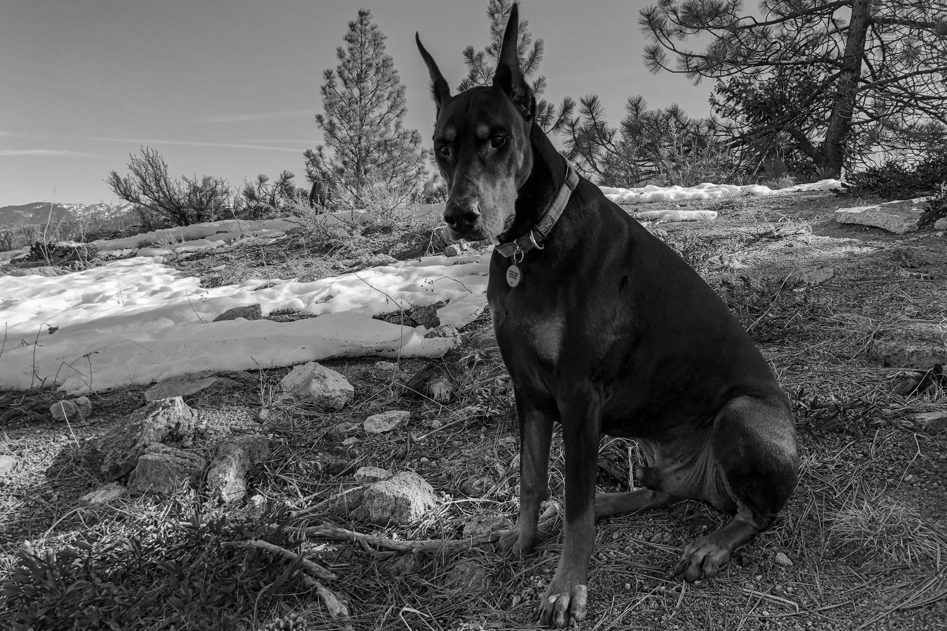
My mind returned to the little trail my friend Nate and I had spotted on our Derby Canyon snow level scouting mission two days ago. Today was the day. I snapped Titus’ collar on and promised him an adventure. He was pumped.
The trail, only slightly more noticeable than a game trail, petered out at the base of a stone cliff, only 100 yards or so up the hill. I opted to hike left and up toward the blue sky to catch the ridge line.
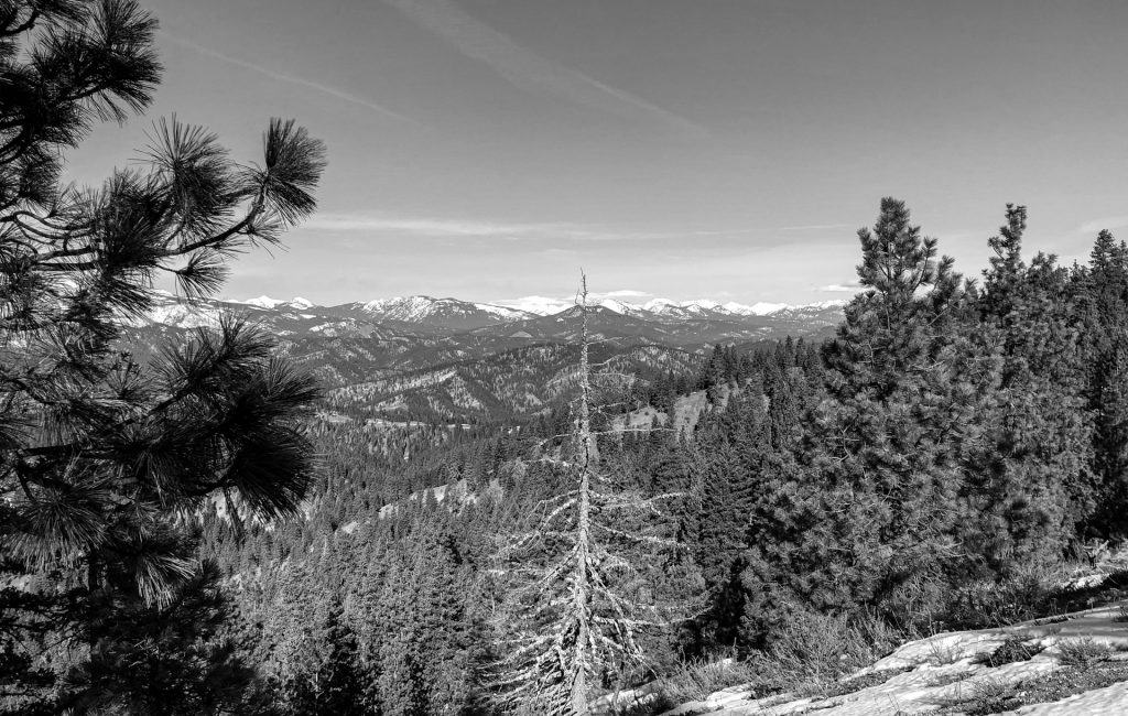
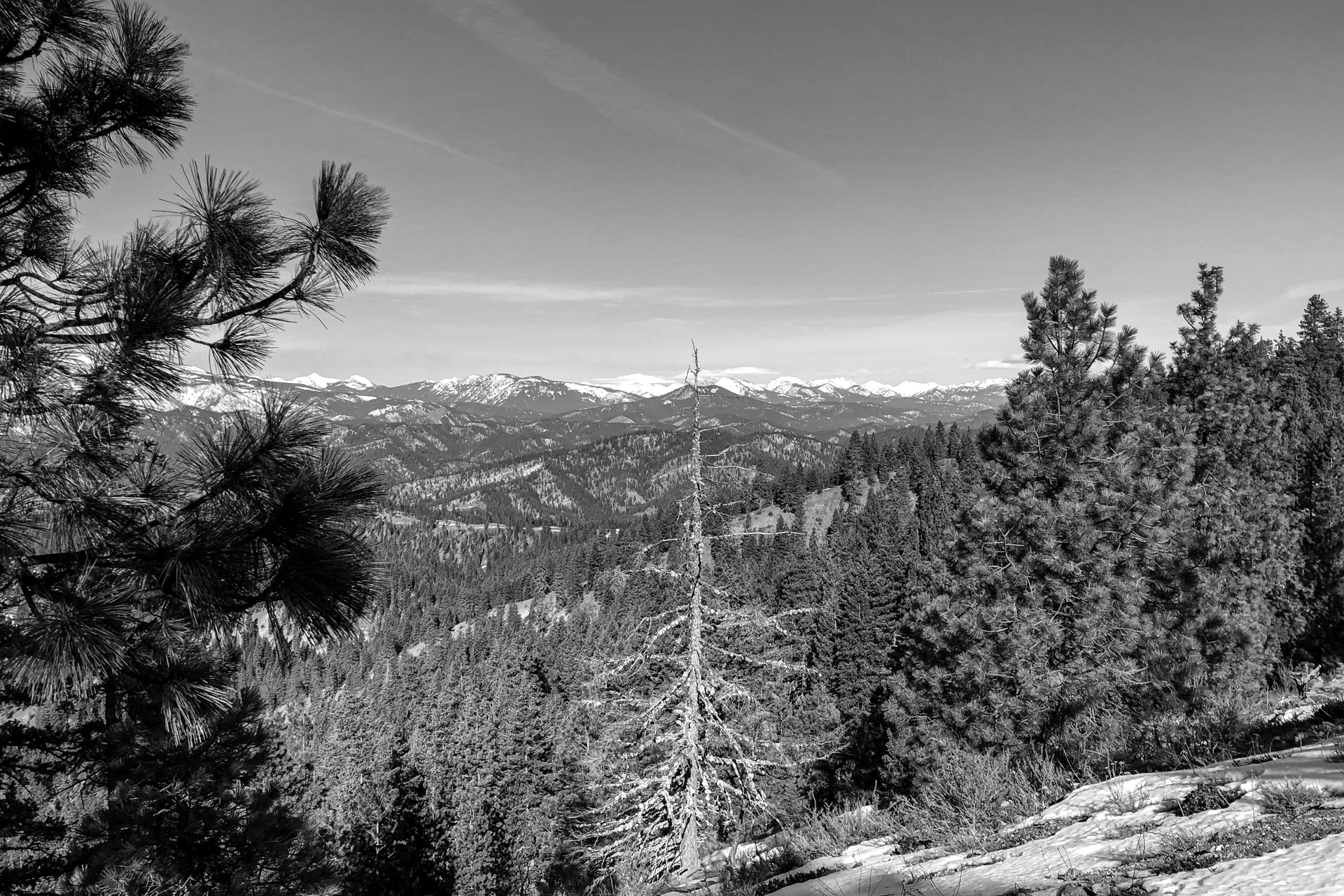
From there, it was as simple as hiking the ridge. After 20 very steep minutes, the hike settled into a very nice interval pattern. I kept intersecting a logging road as it wound its way high into the hills, and there was definitely a set of small boot prints along with several sets of dog prints along my trail. After the first road crossing, the ridge trail became much more defined, but Titus and I were the only souls on the trail at the time.
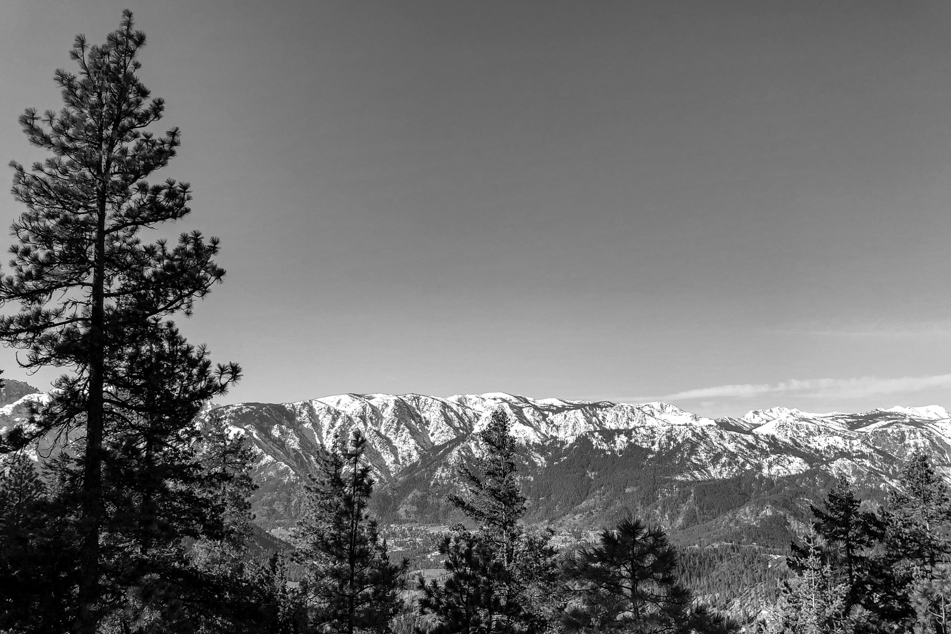
Eventually, our upward progress led us to a summit. Views of Glacier Peak to the north west and Icicle Canyon to the south west as well as into Leavenworth proper.
What mountain is this??
My Garmin watch tracked my progress, position, elevation and time and revealed the answer when I uploaded the activity upon my return home:
Sauer’s Mountain. An alternate path to the top.